The official GTA VI map
Official map · Rockstar Games
This is the map of Leonida that Rockstar Games published on November 19, 2026, the day Grand Theft Auto VI came out. Drag to move around, and zoom with the + and − buttons or by holding Ctrl while you scroll; on a phone, use two fingers. Search for any place printed on the map, or jump to a county or a region.
Loading the map…
Map: Rockstar Games, official map of Leonida, published November 19, 2026.
Open the whole map as one imageAbout this map
This is Rockstar's own map, as Rockstar published it. It is titled "The Great State of Leonida" and has a "Visit Leonida" panel with the legend, a compass and the state seal. Rockstar put it on the downloads page of the Grand Theft Auto VI site on November 19, 2026, as a file ready for print, together with the cover art poster. We show it at the full resolution of that file; only its colours were converted from print to screen.
The map divides Leonida into five counties: Lummox, Leonard, Kelly, Vice-Dale and Mariana. Vice City is on the east coast, with Vice Beach across the bay, and a chain of keys curves south and west from Hamlet to Mile Zero Air Station. The grid in the margin, rows A to M and columns 1 to 9, gives every place its square, for example Vice City in G7.
The place list next to the map has every name printed on it: towns and districts, the five counties and the parts of them it names, islands and keys, parks, landmarks and water. The names are spelled as Rockstar printed them.
Read what is confirmed about the mapWhat is known about the map
From Rockstar, from reporting, and from the map itself. Each line says how well established it is.
- Published by Rockstar Official
- On November 19, 2026, the day the game came out, as the print-ready "Leonida Map & Cover Art Poster" on the downloads page of the Grand Theft Auto VI site.
- Source: Rockstar Games
- Vice City Collection Official
- The same map is printed on the back of the poster in The Goodtime State – Vice City Collection, the box of merchandise sold separately from the game.
- Source: Rockstar Games
- Boxed copies of the game Unconfirmed
- A Push Square headline says they come with a poster but not the map. We could read only the headline.
- Source: Push Square
- Area Official
- Rockstar has not given an official figure for the size of the map.
- Source: Rockstar Games
- Compared with GTA V Unconfirmed
- About twice the size of Grand Theft Auto V's map, Rockstar's Aaron Garbut told Game Informer, according to a VGC headline. We could read only the headline.
- Source: VGC
- Compared with Red Dead Redemption 2 Reported
- About three times its playable area, The New York Times reported in August 2026.
- Source: The New York Times, via Wikipedia
- Counties Official
- Five: Lummox, Leonard, Kelly, Vice-Dale and Mariana.
- Source: Rockstar's map
- Towns Official
- The largest labels are Vice City, Vice Beach, Port Gellhorn, Hamlet and the airport, VCIA (Vice City International Airport). Smaller towns include Ambrosia, Bonanza, Grayson, Millport, Belville, Capri, Grassrivers, Watson Bay, Waning Sands, Key Lento and Southwind.
- Source: Rockstar's map
- The six regions Official
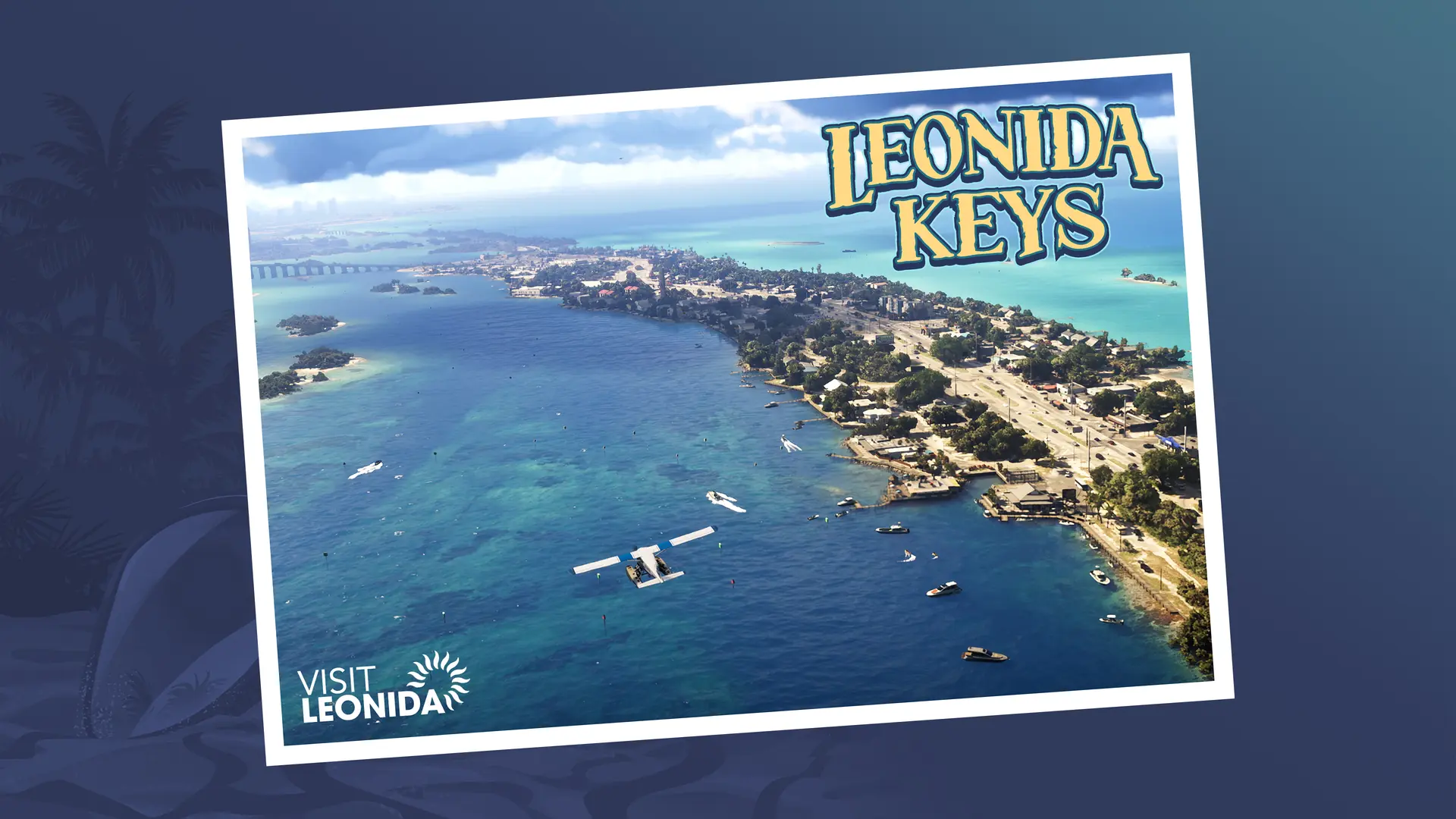
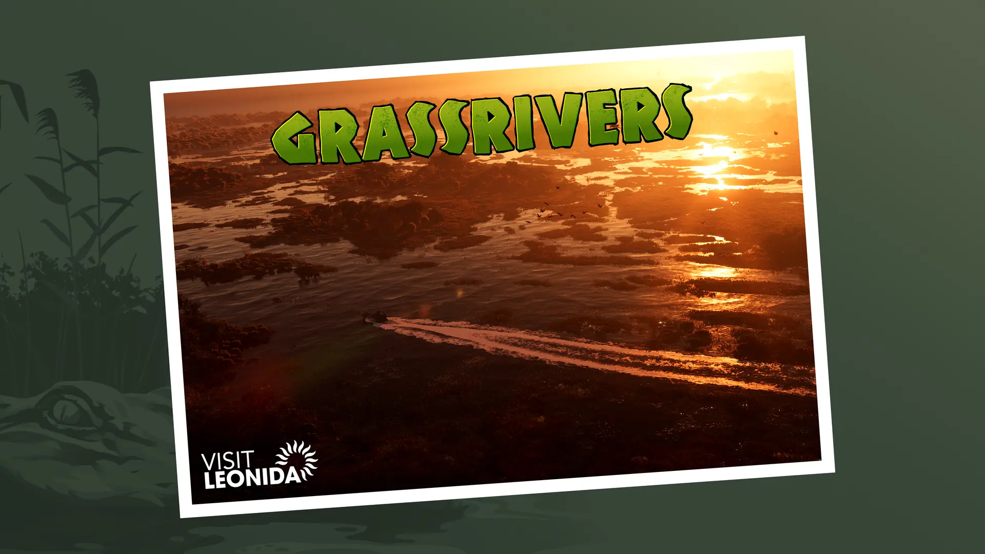
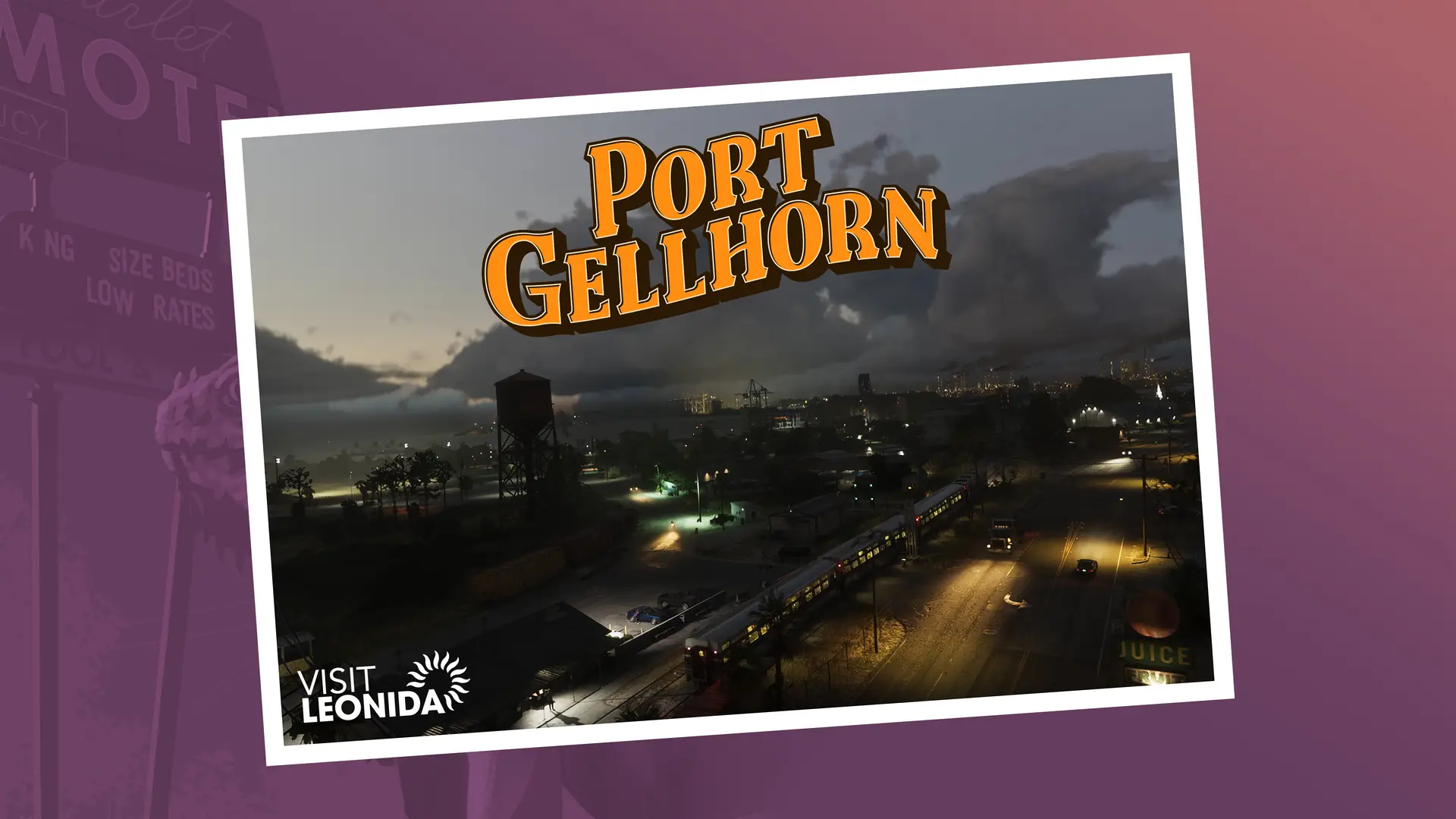
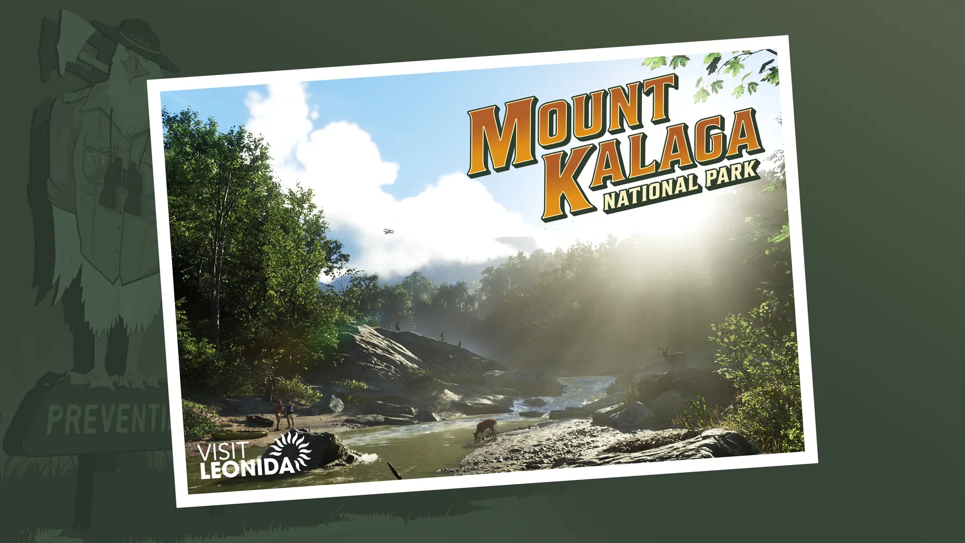
- Vice City, Grassrivers, Port Gellhorn, Ambrosia and Mount Kalaga National Park are all on the map. The Leonida Keys are not labelled as one area: the map names the islands one by one.
- Source: Rockstar's map
- Grid and legend Official
- Rows A to M and columns 1 to 9, a legend of road types (Interstate, U.S. Route, State Route, County Route and Toll), a compass and the state seal.
- Source: Rockstar's map
- Scale bar Official
- The legend reads "1 inch = 0.5 mile / 2 inches = 1 mile", so at the poster's print size each grid square is one mile across. That is the scale of the poster; we have not measured it against the game.
- Source: Rockstar's map